
Training · 9 OCT 2026
GIS and Remote Sensing Training
MATLAB
Team Capacity Building on GIS and Remote Sensing
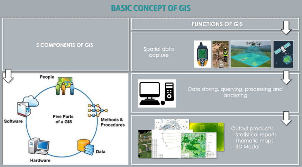
To strengthen the technical capacity of the team, a comprehensive training program on Geographic Information Systems (GIS) and Remote Sensing will be conducted. The training will focus on both theoretical concepts and practical applications, enabling participants to effectively collect, process, analyze, and visualize spatial data for evidence-based decision-making.